

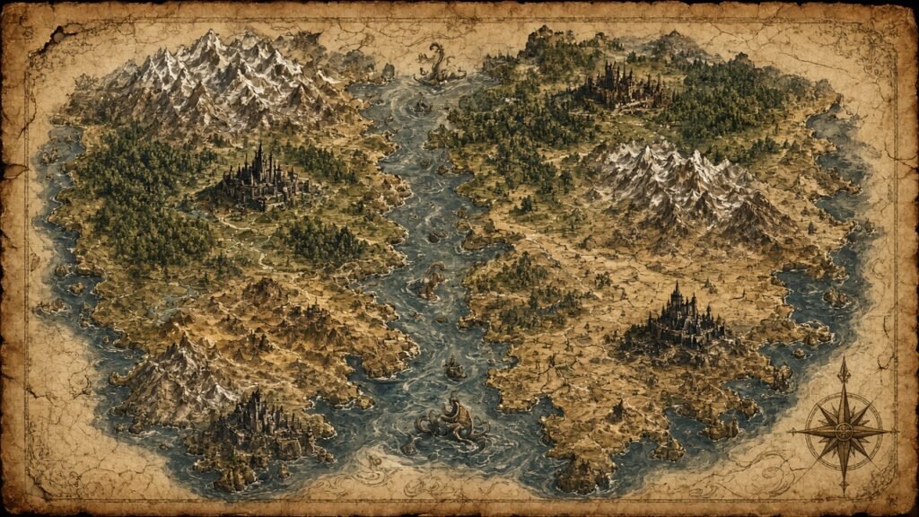
The Game of Thrones map is essential for understanding Westeros, Essos and the lands beyond. From the Wall in the frozen north to the dry landscapes of Dorne in the south, each region has its own history, rulers and political interests. As a result, these regions shape the paths taken by major characters and help explain why powerful families fight for land, wealth and the Iron Throne. Understanding the geography also makes it easier to follow wars, royal marriages and journeys across the Narrow Sea.
Spoiler note: This guide discusses locations and political changes across Game of Thrones. Some details may reveal changes in control that occur later in the series.
1. Understanding Westeros and Its Nine Regions
Westeros is the main continent where most of Game of Thrones takes place. First, it stretches from the cold lands beyond the Wall in the north to the warmer regions of Dorne in the south. Across it, powerful noble families control different territories and compete for influence over the Iron Throne.
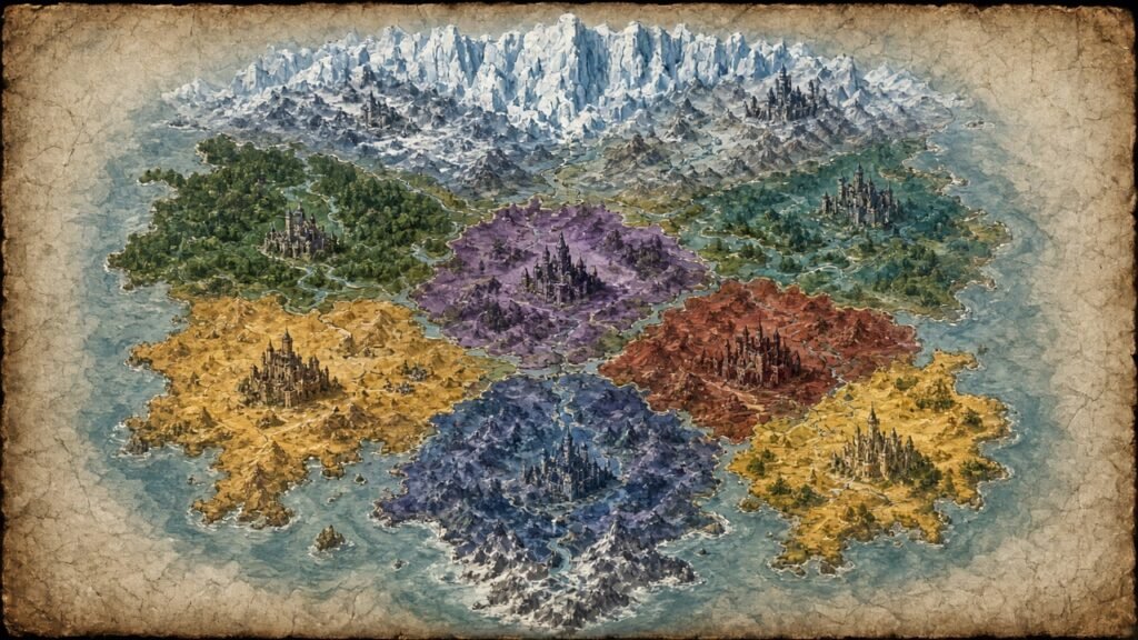
Although people commonly refer to the realm as the Seven Kingdoms, its traditional geography includes nine major regions. Also, their landscapes, castles and natural boundaries influence trade, warfare and political power.
The Major Regions of Westeros
- The North: The largest region, known for its cold winters, vast forests and Winterfell, the ancestral seat of House Stark.
- The Vale of Arryn: A mountainous region protected by the Mountains of the Moon. Of course, among its most famous strongholds is the Eyrie.
- The Riverlands: A central region with important rivers and strategic castles. For this reason, its location makes it vulnerable to armies crossing Westeros.
- The Westerlands: A wealthy region known for its gold mines and its historical connection to House Lannister.
- The Reach: A fertile region with productive farmland. As a result, its agricultural wealth helped support large populations and armies.
- The Stormlands: A coastal region known for powerful storms and its historic seat at Storm’s End.
- Dorne: The southernmost region, known for its dry climate, deserts and distinctive customs.
- The Crownlands: The royal territory surrounding King’s Landing, including important locations connected to the Iron Throne.
- The Iron Islands: A group of rocky islands whose people are known for seafaring, naval strength and raiding traditions.
In short, these nine regions help explain the political structure of Westeros. For example, rivers create travel routes, mountains provide natural defenses and fertile lands supply food. Coastal locations also give certain houses advantages in trade and naval warfare.
Important Castles and Strongholds
In addition, several castles appear repeatedly on the Game of Thrones map because they are central to the power of major houses.
- Winterfell: The historic seat of House Stark in the North.
- King’s Landing: The capital of the Seven Kingdoms and the location of the Iron Throne for much of the series.
- Casterly Rock: The traditional seat of House Lannister in the Westerlands.
- Highgarden: The historic seat of House Tyrell in the Reach.
- The Eyrie: The mountain stronghold of House Arryn in the Vale.
- Riverrun: The ancestral seat of House Tully in the Riverlands.
- Storm’s End: A major stronghold associated with House Baratheon in the Stormlands.
- Sunspear: The seat of House Martell in Dorne.
- Pyke: The main seat of House Greyjoy on the Iron Islands.
- Dragonstone: An island castle in Blackwater Bay, historically associated with House Targaryen.
These locations are more than points on a map. In fact, they represent political influence, military resources and the family histories that drive many of the series’ conflicts.
2. Exploring Essos and the Lands Across the Narrow Sea
Essos lies east of Westeros, across the Narrow Sea. At the same time, it is a vast continent with independent city-states, grasslands, deserts and ancient civilizations. Because of this distance, its cultures and political systems differ from those of the Seven Kingdoms.
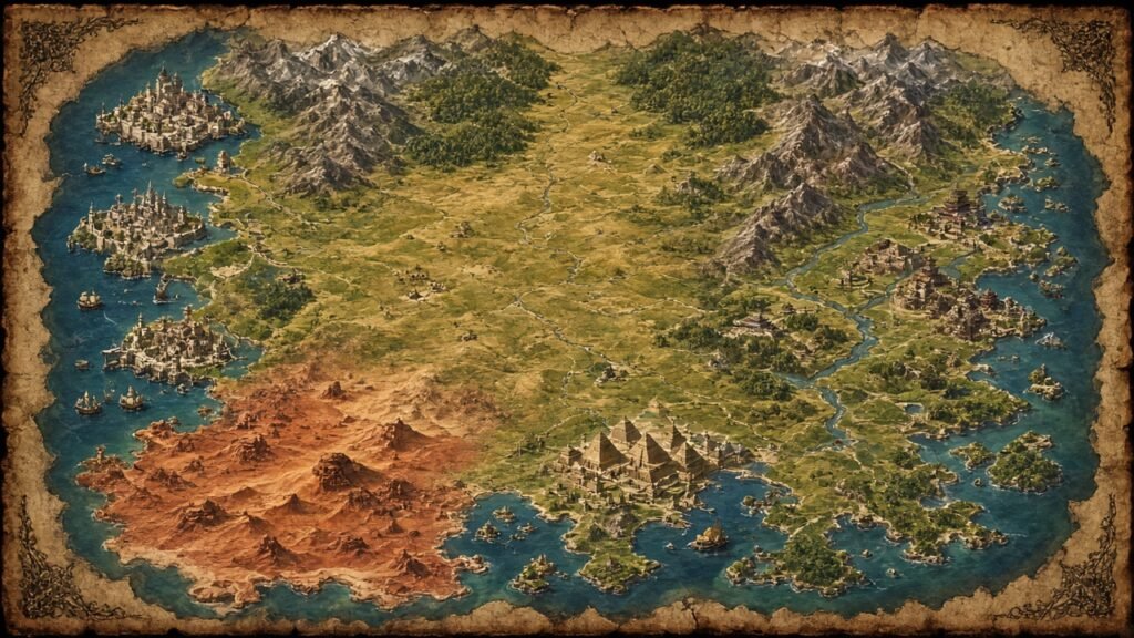
The Game of Thrones map shows the places Daenerys travels through as she builds her power, meets different communities and challenges the slave trade.
The Nine Free Cities
The Free Cities are independent city-states in western Essos. In total, the nine cities are Braavos, Pentos, Myr, Lys, Volantis, Tyrosh, Lorath, Norvos and Qohor.
- Braavos: Famous for its canals, maritime power and the influential Iron Bank.
- Pentos: A trading city on the western coast of Essos.
- Myr: Known for skilled craftspeople and fine goods.
- Lys: An island city associated with trade and pleasure houses.
- Volantis: An ancient and powerful city with a strong connection to the history of Valyria.
- Tyrosh: A coastal city known for trade and its strategic location.
- Lorath: An island city in the northern part of the Free Cities region.
- Norvos: An inland city known for its distinctive religious traditions.
- Qohor: An inland city surrounded by forests and known for its craftsmanship.
Together, these cities form an important commercial network. As a result, their merchants, banks and political leaders influence events across Essos and beyond.
The Dothraki Sea
Despite its name, the Dothraki Sea is not a real sea. Instead, it is an enormous grassland where the Dothraki, a nomadic people known for their horsemanship, travel with their khalasars.
In fact, its open terrain supports horses and large moving groups. This geography also explains why mounted warriors play such an important role in the region.
Slaver’s Bay
Slaver’s Bay lies in southeastern Essos, on the Bay of Dragons. Its major cities also include Astapor, Yunkai and Meereen. Later, these cities become important during Daenerys’s campaign against slavery.
The region shows how geography, trade and wealth can support powerful institutions. Daenerys’s actions there also shape her political identity and influence her later decisions.
The Red Waste and Qarth
The Red Waste is a vast desert with a dry climate and limited water. That’s why crossing it is dangerous for travelers who lack food, shelter and reliable supplies.
Farther east, Qarth is a wealthy trading city near the Jade Sea. Its merchants and powerful families make it an important stop in Daenerys’s journey.
Lands Farther East
Beyond the better-known cities lie regions such as Yi Ti, Asshai and the Shadow Lands. Still, these places are surrounded by mystery, and the television series reveals relatively little about their geography and history.
Essos is one of the largest known continents in this fictional world. In fact, its eastern territories help make the map feel much larger than the locations shown in the main storyline.
3. The Game of Thrones World Map, Seas and Northern Lands
The wider world map shows how Westeros connects with Essos and other distant lands. For example, it includes major continents, islands, seas and regions that receive little attention in the television series.
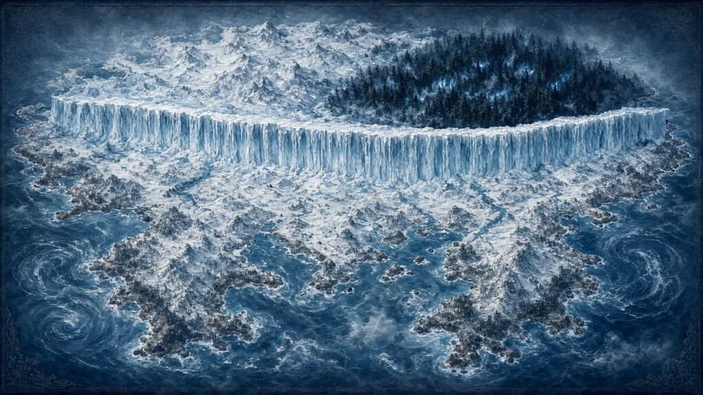
The known world also includes Sothoryos, Ulthos and the Summer Isles. However, the geography of some distant areas remains uncertain or only partly described in the books and on screen.
Major Seas and Natural Boundaries
Then, the seas help explain how characters travel, how armies move and why certain locations are strategically important.
- The Narrow Sea: Separates Westeros from western Essos. For this reason, ships use it for travel, trade and military campaigns.
- The Shivering Sea: Lies north of Essos and borders cold northern waters.
- The Sunset Sea: Lies west of Westeros. Its farthest reaches remain largely unexplored in the main story.
- The Summer Sea: Lies south of Westeros and Essos and connects to warmer regions.
- The Jade Sea: Borders eastern Essos and provides access to distant trading regions.
Land features also shape journeys across the map. Mountains can protect settlements, rivers provide routes for transport and deserts make travel dangerous. As a result, these barriers often influence the choices made by rulers and military leaders.
What Lies Beyond the Wall?
The Wall marks the northern boundary of the Seven Kingdoms. In addition, it is a massive fortification guarded by the Night’s Watch, whose duty is to defend the realm against threats from the far north.
Beyond the Wall are the Haunted Forest, the lands of the free folk and other remote locations. The region also includes Thenn, an area associated with one of the free folk’s groups, and the mysterious Lands of Always Winter farther north.
White Walkers and their growing threat make these northern lands increasingly important as the series progresses. The harsh climate and vast distances also make exploration and travel difficult.
In short, the northern edge of the map is deliberately mysterious. In fact, many places beyond the Wall remain unfamiliar to people living in the southern kingdoms.
4. Game of Thrones Map With Houses and Their Territories
A Game of Thrones house map connects important castles with the noble families that historically controlled them. In turn, these connections help explain alliances, rivalries and battles throughout the story.
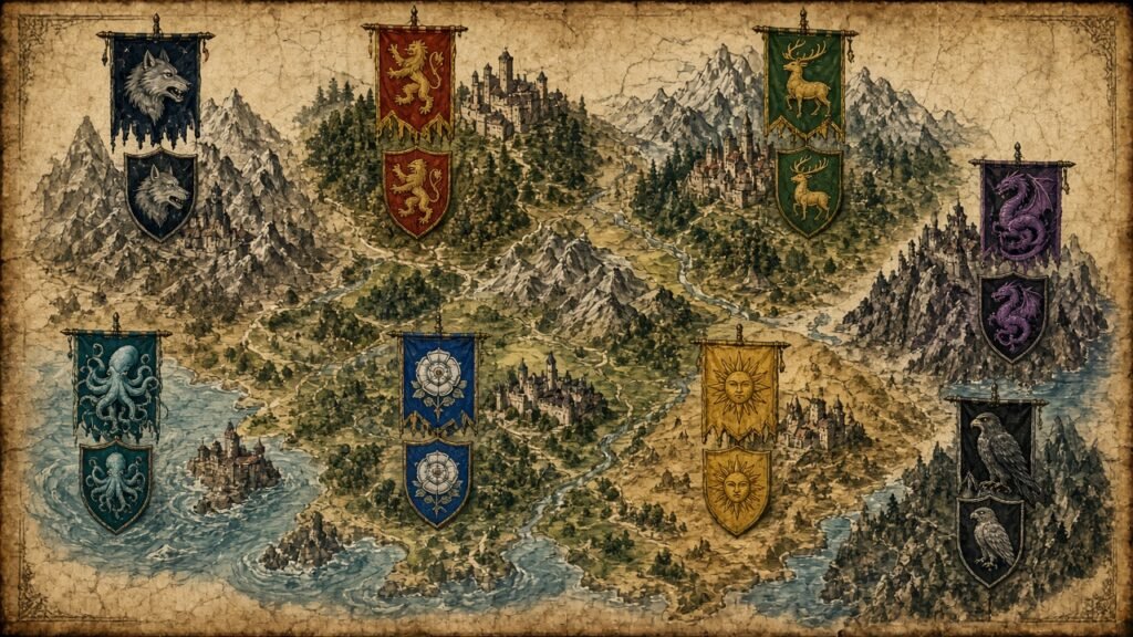
The table below lists major houses, their traditional seats and their associated regions. Political control changes during the series, so the table describes historical associations rather than claiming that every house holds its territory at the end.
| Great House | Traditional seat | Region |
| House Stark | Winterfell | The North |
| House Arryn | The Eyrie | The Vale |
| House Tully | Riverrun | The Riverlands |
| House Lannister | Casterly Rock | The Westerlands |
| House Tyrell | Highgarden | The Reach |
| House Baratheon | Storm’s End | The Stormlands |
| House Martell | Sunspear | Dorne |
| House Greyjoy | Pyke | The Iron Islands |
| House Targaryen | Dragonstone | Crownlands, on the island of Dragonstone |
| House Baratheon of King’s Landing | King’s Landing | Crownlands |
Historical note: At the start of Game of Thrones, House Baratheon holds the Iron Throne. House Targaryen is no longer the ruling royal house and its surviving members live in exile. Dragonstone is an island in Blackwater Bay, associated with the Crownlands.
The table includes King’s Landing separately because the Crownlands are a region in their own right. Of course, the political status of each location can change as rulers die, armies win battles and alliances shift.
How House Locations Affect the Story
House Stark benefits from the size and strategic position of the North, although its vast territory can make travel difficult. Similarly, House Lannister historically draws wealth from the Westerlands’ gold resources. House Tyrell’s seat at Highgarden lies in a fertile region that can support large populations and armies.
Finally, House Greyjoy’s island location supports a strong maritime tradition. Meanwhile, King’s Landing offers control over royal government and the Iron Throne, making it a central target for competing claimants.
Overall, these geographic advantages help explain why some families hold significant power and why certain castles become major military targets.
5. Interactive Maps, House of the Dragon and Filming Locations
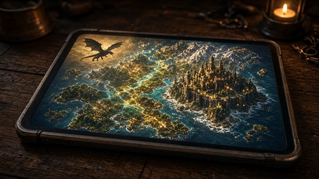
An interactive map can make the fictional world easier to explore than a small, static image. For instance, depending on the map, users may be able to zoom in, search for castles, identify regions and follow the routes taken by characters.
Where to Find a Game of Thrones Map
For detailed location references, start with these established sources:
- A Wiki of Ice and Fire: Maps provides map references from the books and television adaptation, including regional maps and a world map.
- A Wiki of Ice and Fire: Free Cities explains the nine Free Cities and their positions in western Essos.
These are fan-maintained reference resources, not official HBO publications. They are useful for learning place names and geography, but compare details with the relevant book or show when accuracy matters. HBO’s official Game of Thrones and House of the Dragon pages are also useful for series information, although they may not provide a complete interactive world map.
If you want a high-resolution map, check that the labels remain readable when zoomed in and confirm whether it covers Westeros alone or the wider known world. A printed map poster may suit a fan’s room or collection, but check its dimensions, image quality, labeling and seller details before buying.
House of the Dragon Map Explained
House of the Dragon takes place roughly 200 years before the events of Game of Thrones and focuses on the Targaryen dynasty. That is why its map highlights Westeros during a period when the Targaryens ruled from the Iron Throne.
Dragonstone, King’s Landing, Harrenhal and Driftmark are especially important to the story. As a result, their positions influence travel, political alliances and naval conflict during the Targaryen civil war known as the Dance of the Dragons.
Many locations appear in both series, but with different rulers and conflicts. So, comparing their settings helps viewers understand how power changes over time while the geography remains largely the same.
Game of Thrones Filming Locations Map
The fictional locations are also connected to real places used during production. For instance, a filming locations map can help fans plan visits or learn how real landscapes became part of Westeros and Essos.
Examples include:
- Dubrovnik, Croatia: Used for many King’s Landing scenes.
- Northern Ireland: Provided landscapes and filming sites used for Winterfell and other parts of Westeros.
- Iceland: Supplied dramatic landscapes for scenes beyond the Wall.
- Royal Alcázar of Seville, Spain: Served as a filming location associated with the Water Gardens of Dorne.
Real filming locations do not always match the fictional map’s geography. In fact, productions often combine different sites to create one fictional city, castle or landscape.
Conclusion
The geography of Westeros and Essos adds depth to the politics, family rivalries and journeys that define Game of Thrones. For example, locations such as Winterfell, King’s Landing, Braavos and Meereen each play a different role in the story.
In short, learning about the regions, castles, seas and noble houses makes it easier to follow battles and shifting alliances. Interactive maps and filming location guides can also help fans explore the fictional world in greater detail.
Whether you want to understand the Seven Kingdoms, follow Daenerys’s journey through Essos or compare the settings of Game of Thrones and House of the Dragon, a reliable map is a useful place to start.
Frequently Asked Questions
The main continents are Westeros and Essos, and the known world also includes Sothoryos and Ulthos. The map also features islands such as the Summer Isles and many smaller island groups.
Westeros and Essos are separate continents divided by the Narrow Sea. People can travel between them by ship, making the sea important for trade, diplomacy and warfare.
Westeros is commonly divided into nine major regions: the North, the Vale, the Riverlands, the Westerlands, the Reach, the Stormlands, Dorne, the Crownlands and the Iron Islands. The term “Seven Kingdoms” is the traditional name for the realm, not a count of these regions.
Winterfell lies in the North of Westeros. It is the ancestral seat of House Stark and one of the most important locations in the series.
No. Westeros, Essos and their regions are fictional creations from George R. R. Martin’s A Song of Ice and Fire books. However, the television adaptation uses real filming locations in countries such as Croatia, Northern Ireland and Iceland.
Dragonstone is an island in Blackwater Bay, off the eastern coast of Westeros. It is associated with the Crownlands and has a long history with House Targaryen.